


Quick Answer:
Mountain bike navigation technology has evolved, and choosing the right GPS in 2026 depends entirely on your riding style. From ultra-compact, lightweight devices for fast races to units with rugged screens and detailed topographic maps for long expeditions, the key is prioritizing battery life, durability, and satellite accuracy.
If you’re going to do this sport outside your usual area, Best GPS for MTB bikes can be difference between smooth route and outing full of doubts. In mountains, cell signal doesn’t always accompany and battery drains fast when you use maps. That’s why, in this blog you’ll understand what are the best GPS devices for mountain bikes is and how it works, how it differs from mobile apps, what characteristics really matter.
Want to conquer MTB routes in Cusco? Discover most precise and resistant GPS 2026 according to your adventure type. Discover our Day Tours in Cusco designed for riders seeking real enduro in Andes.
What GPS for MTB is and how it really works
GPS for MTB is satellite navigation device designed specifically for mountain biking. It’s not just speed or distance meter: it allows you to navigate with integrated maps, follow routes loaded in GPX format, receive alerts if you leave route and record entire journey with precise data.
GPS for MTB combines navigation and advanced metrics. It can show you distance, speed, accumulated elevation gain, altitude in real time and route elevation profile.
Additionally, many models include barometric altimeter, which measures altitude with greater precision than pure GPS, something important on routes with constant elevation gain. They also allow you to sync external sensors via Bluetooth or ANT+.
In practical terms, it works like this: you download destination map, load route in GPX format and device guides you in real time, indicating turns, detours or return to starting point if you need it.
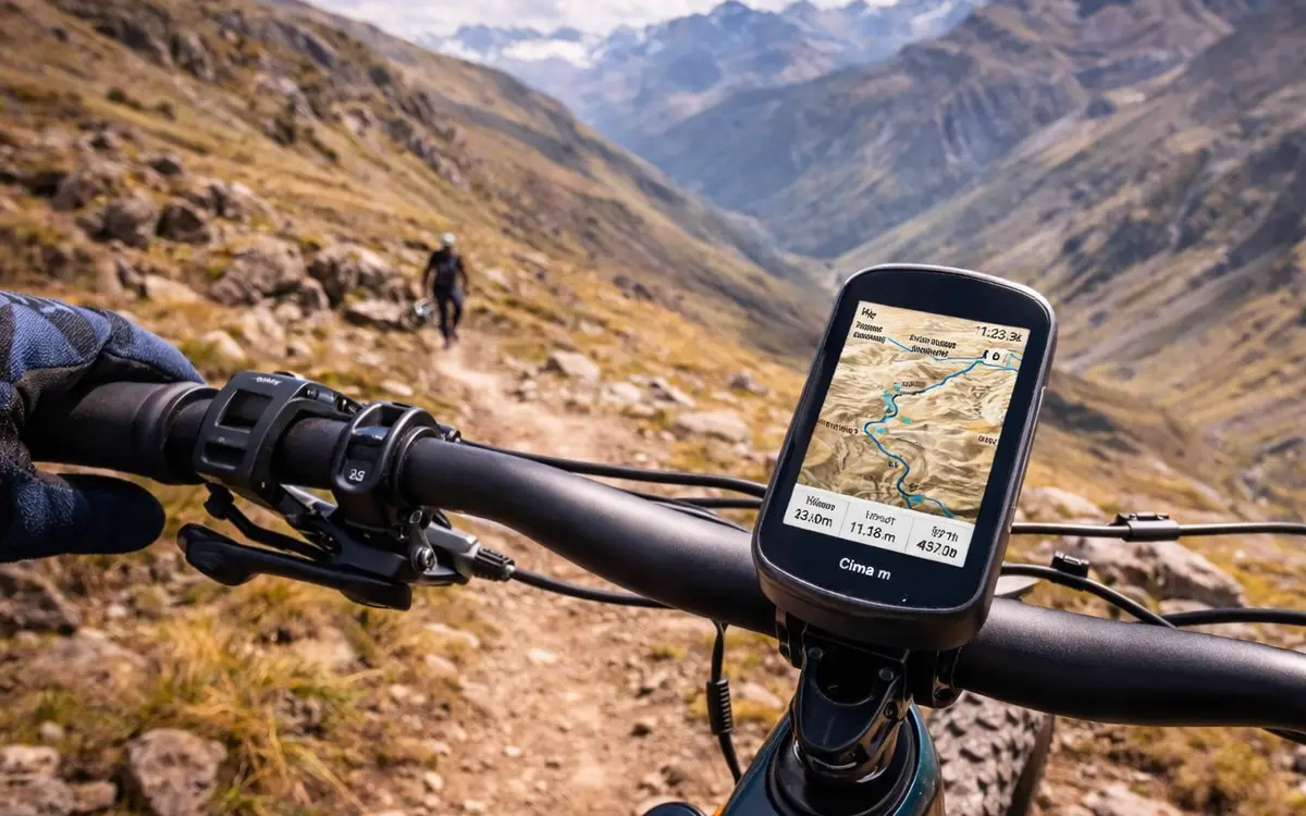
GPS device for MTB on a mountain bike, showing curves and elevation changes to manage effort.
Differences between dedicated GPS and mobile applications
You can use your smartphone for short routes, especially if you use applications like Strava, Komoot or Trailforks. However, it has clear limitations: shorter battery life, greater risk in falls, possible overheating and, in some cases, signal dependency.
In contrast, dedicated GPS offers you much longer lasting battery (many models exceed 15 or 20 hours), greater water and impact resistance, better reading under direct sun and safer handlebar mounting. On long or technical routes, difference is quite noticeable.
Warning:
Avoid mounting GPS on weak supports on routes with lots of loose rock.
Key characteristics you should look for in best GPS for MTB
Autonomy is one of most important factors. On mountain routes that can last half day or more, you need device that guarantees you between 10 and 20 real hours of continuous use.
Offline maps and topographic cartography are also essential. Good GPS allows you to download maps by region, see contour lines and analyze accumulated elevation gain, something especially useful in mountainous terrain.
Resistance is another key point. Many models have IPX7 certification, which means they withstand heavy rain and splashes without problem. Additionally, they’re designed to resist constant vibrations on irregular roads.
Screen must be visible under intense sun, something fundamental in mountains. Some devices combine physical buttons with touchscreen so you have more precision in adverse conditions.
Safety functions, like Live Tracking, incident detection or automatic return to starting point, give you additional level of peace of mind, especially if you ride alone or in foreign country.

GPS device for MTB on a mountain bike, showing curves and elevation changes to manage effort.
Autonomy and performance on long mountain routes
On long mountain routes, real autonomy of your GPS doesn’t always match maximum figure manufacturer indicates. Battery can be affected by several factors: constant map use with active navigation, sensor connection and other settings.
In mountains, cold can reduce lithium battery performance, so device may discharge faster than expected. Route profile also influences: if you do routes with lots of elevation gain and constant direction changes, GPS works harder processing altitude and turn-by-turn navigation data.
To optimize autonomy on long outings, you should:
- Download maps and routes before leaving, to not depend on external connection.
- Reduce screen brightness to minimum necessary.
- Deactivate Wi-Fi or Bluetooth if you won’t use real-time sync.
- Adjust data recording to smart mode, instead of every second, if you don’t need maximum precision.
And if you’re going to ride in remote areas, with changing weather or poorly marked routes, very effective way to reduce risks is doing it with agency and specialized guide. Guide knows real terrain, adjusts route according to day’s conditions and supports you with logistics and safety, so you don’t depend only on GPS.

Biking team enjoying spectacular view, combining culture, nature and sport.
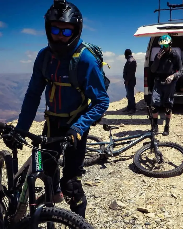
Moment before action on enduro route, combining organization, gear and adrenaline.
Safety in international travel and remote areas
When you travel to new destination, dedicated GPS can become key safety tool, not just navigation. Unlike phone, satellite navigation works without depending on cell signal, which is fundamental in rural areas.
On remote routes, being able to follow previously loaded track greatly reduces risk of taking wrong detours, especially in places where there’s no clear signage or multiple forks exist.
Remember that:
Maintaining sufficient battery is part of your safety strategy.
Price range and what you can expect according to budget
Price of GPS for MTB usually reflects not only hardware quality, but also navigation level, precision and safety functions it incorporates. To choose well, think about how and where you ride, not just available budget.
In basic range
You find devices with simple navigation, activity recording and good autonomy. They normally have smaller screen, less detailed maps or “route line” type navigation.
In mid range
You have color topographic maps, turn-by-turn navigation, better screen resolution and greater compatibility with sensors like heart rate, cadence or power.
In high range
You’ll have advanced maps, you find more complete performance metrics (training load, recovery and power analysis), integration with sports platforms and, in some cases, more advanced safety functions.
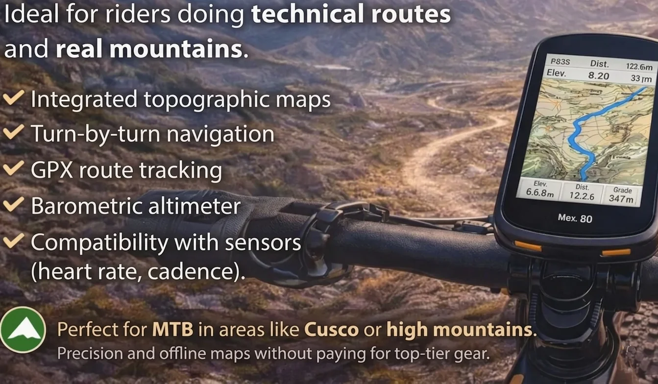
In high mountains, best GPS for MTB bikes offer barometric altimeter to measure elevation gain with greater accuracy.
How to prepare your GPS before traveling
Before any trip, you should dedicate few minutes to leave your GPS completely ready. Updating firmware is first step: brands usually correct errors, improve satellite precision and optimize battery consumption with each update.
It’s also key you download maps of place you’re going to travel to, especially if you’re going to ride in rural or international areas. Not all devices come with global maps activated by default.
Ideal is that you:
- Verify track is complete and has no cuts.
- Review elevation profile to understand accumulated elevation gain.
- Confirm key points like start, finish and possible detours.
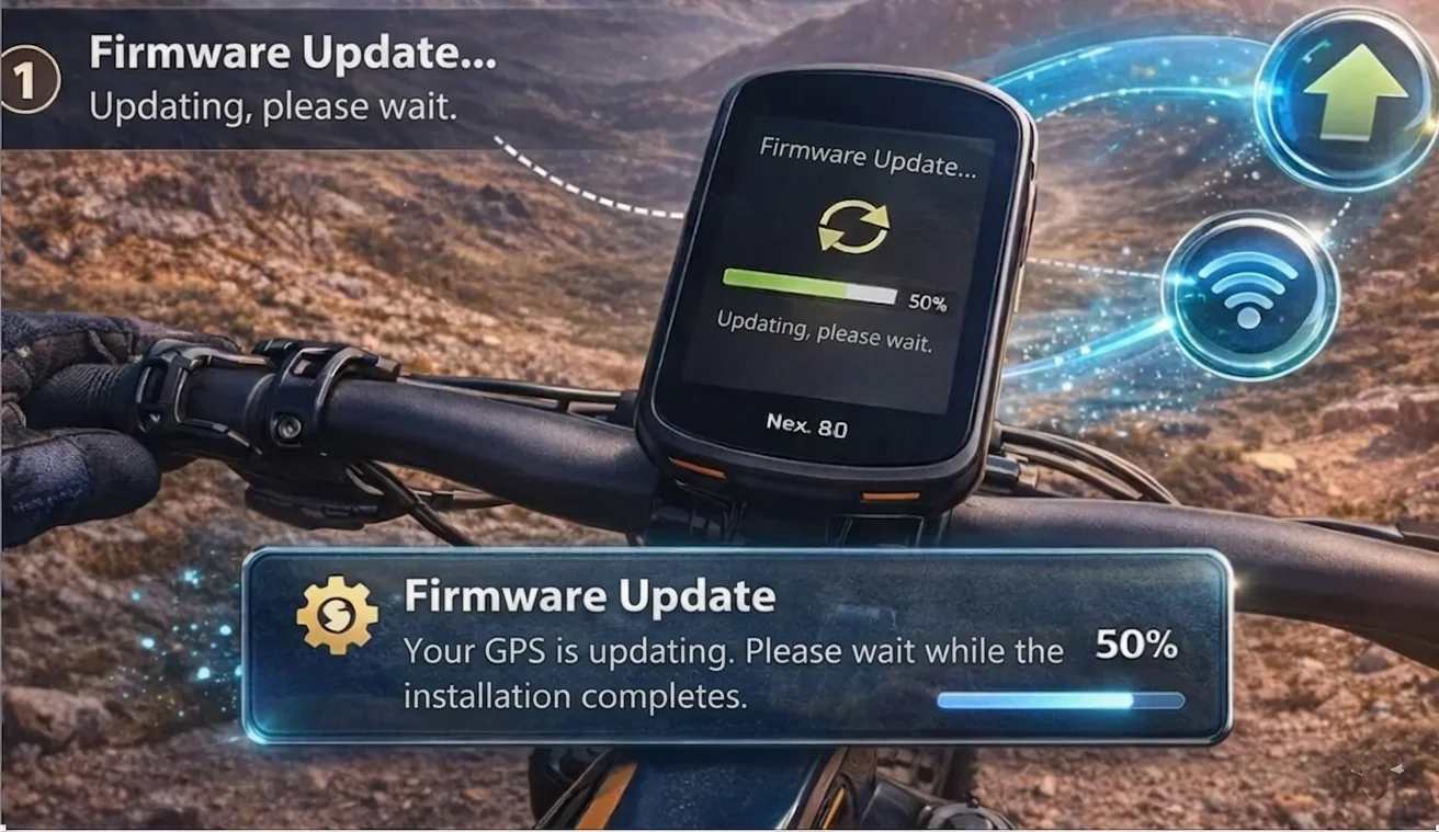
Outdoor scene with modern style, where GPS updates to avoid navigation errors.
Is it worth buying one if you’re occasional rider?
If you only do short routes in areas you already know well, probably dedicated GPS isn’t indispensable. In those cases, application on your phone may be sufficient to record distance, speed and basic route.
But if you’re going to ride in unknown destinations, dedicated GPS gives you real advantages: stable navigation without depending on cell signal, greater battery autonomy, water and impact resistance, and better visibility under direct sun.
Best GPS for MTB bikes help you ride with more safety and confidence, especially when you leave your area and get into long or poorly marked routes. If you prepare your maps and tracks in advance, care for battery and choose device according to your route style, you’ll enjoy more and make fewer navigation errors. If you want everything well planned, safe and adapted to your level, Peru Biking Tours is your best ally: we guide you with ideal route, logistics and correct equipment. Contact us at +51 946 459 491 and start preparing your next bike adventure.
Thousands of travelers have trusted Peru Biking Tours to experience unforgettable experiences in Andes.
Your safety first
Routes adapted to your level, expert local guides and complete support at all times.
Without worrying about anything
We handle all logistics so you only focus on enjoying landscape.
Authentic routes in Cusco
Experience Sacred Valley authentically, at your pace, with access to best trails.
Quality equipment
High-end enduro bikes, helmets and protective gear for all levels.
Plan your MTB experience in Cusco
MTB Day Tours in Cusco
If you want to ride routes like Lamay Sapacto with correct logistics, local support and proper trail selection, check out our MTB Day Tours in Cusco.
Multi-Day MTB Tours
For more complete experiences connecting several valleys and high mountain routes, discover our Multi-day MTB Tours.


