


Quick Answer:
Huayllarcocha is one of the most practical MTB descents near Cusco for riders who already have basic singletrack skills and want a short, repeatable route at altitude. It works especially well for acclimatization, technique practice, and combining flow sections with moderate technical features before moving on to longer or more demanding descents around Cusco and the Sacred Valley.
Riding Huayllarcocha MTB route in Cusco is an experience fusing adventure, active culture and elevated landscapes. Huayllarcocha is not the biggest descent near Cusco, but it is one of the smartest routes for riders who want quick access, repeatable training, and a real taste of Cusco terrain without heavy logistics.
Where is Huayllarcocha and why do local riders use it so much?
Huayllarcocha is located very close to Cusco, making it one of favorite routes for training, acclimatizing or doing several descents in single day. That proximity explains why many local riders use it to work on technique, pace and confidence before longer or more demanding routes.
Quick facts about Huayllarcocha MTB route in Cusco:
| Feature | Data |
| Trail distance | 3.1 mi (5 km) |
| Starting point altitude | 12,339 ft (3,761 m) – Huayllarcocha |
| Ending point altitude | 11,155 ft (3,400 m) – Plaza de Armas, Cusco |
| Descent elevation drop | 1,184 ft (361 m) |
| Terrain type | Singletrack, flow trails, rock gardens, roots, steps |
| Profile | 75% descent / 10% climb / 15% flat |
| Difficulty | Lower / Intermediate (Blue) |
| Time from Cusco | 30 min by car / 1 hour pedaling |
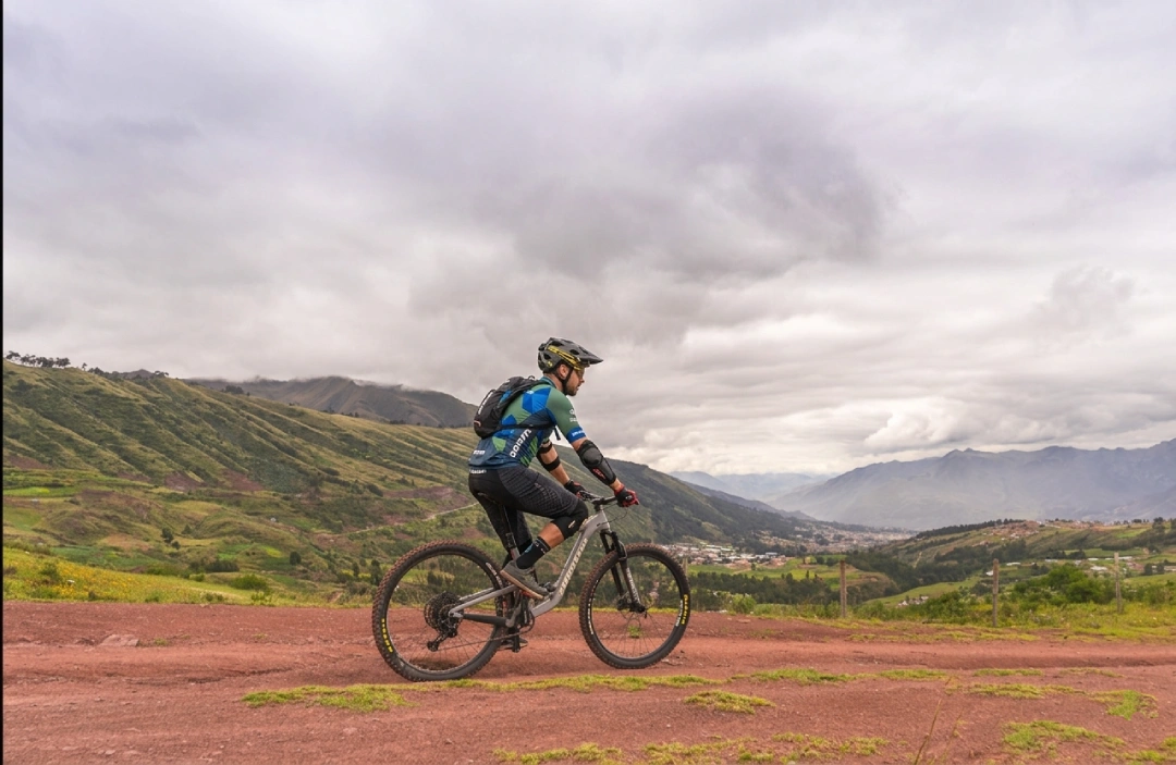
MTB Cyclist at Huayllarcocha, Cusco
Why Huayllarcocha remains one of Cusco’s classic local trails?
- Fast access from Cusco
- Useful for acclimatization
- Easy to repeatmix of flow and technical practice
- Can be combined with Yuncaypata and nearby lines
Who should ride Huayllarcocha — and who should skip it
Huayllarcocha is ideal for:
- Riders who already master basics on singletrack
- Cyclists wanting route close to Cusco
- Those seeking mix of flow, technique and scenery
- People wanting to train or repeat descents without complex logistics
- Riders wanting to combine mountain biking with cultural touch
Not best option for:
- Absolute beginners
- Cyclists without acclimatization
- Those who’ve only pedaled on wide tracks or urban roads
- Riders seeking long route with major elevation drop
| Profile | Why this route fits? |
| Intermediate cyclists | Terrain combines technical descents, loose rock and rock gardens, ideal for those seeking to improve control and pace at altitude. |
| Enduro riders | Variety of fluid and technical sections offers complete training, with mind-blowing Sacred Valley views. |
| Cultural adventurers | Perfect for those wanting to pedal Inca trails and coexist with high Andean communities, enjoying living culture. |
| E-Bike users | Extreme altitude becomes more accessible thanks to electric assist, maintaining MTB experience without losing technical demand. |
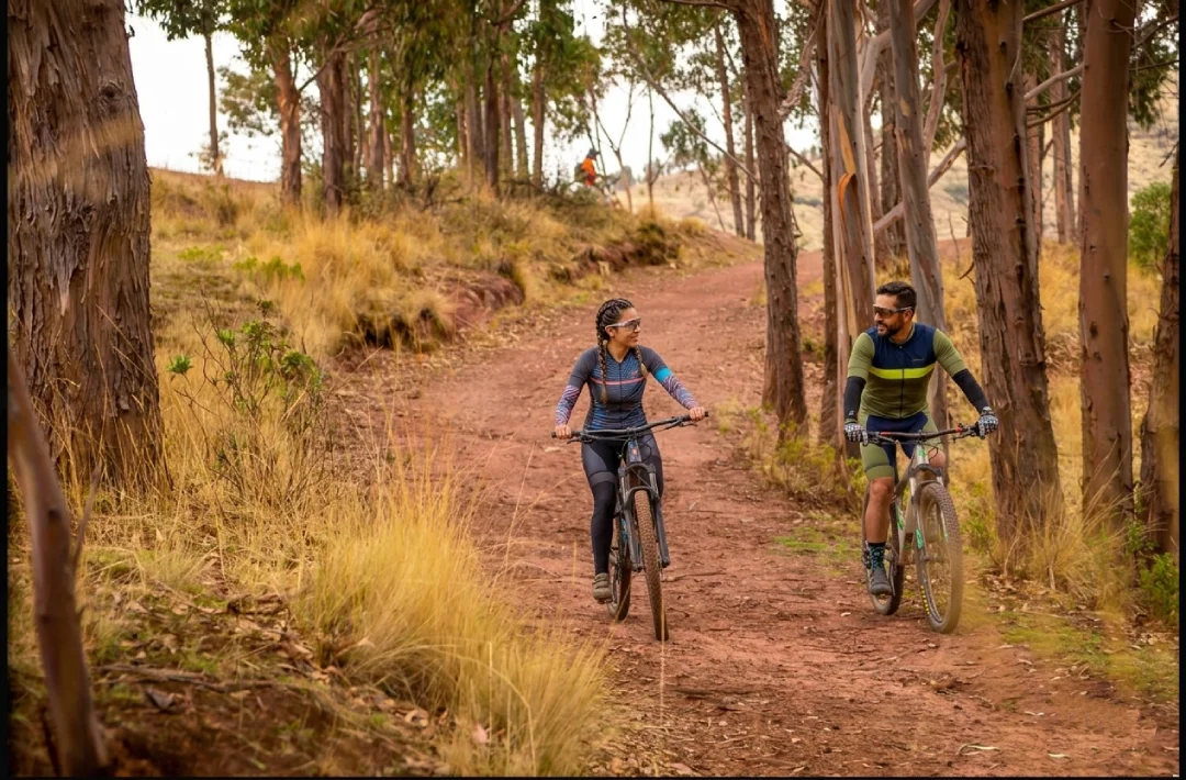
Huayllarcocha: fast dirt, open views and classic MTB in Cusco
What the trail feels like, section by section
Huayllarcocha Route
From mountains to colonial neighborhood: six stages combining adrenaline, landscape and history
Huayllarcocha + Yuncaypata: the classic combo near Cusco
Huayllarcocha is fantastic route on its own, but what makes it truly special is that it’s part of broader circuit including other nearby routes. Most popular combination among local riders is Huayllarcocha and Yuncaypata.
| Route | Distance | Difficulty | Features |
| Huayllarcocha | 3.1 mi (5 km) | Lower Intermediate | Flow, banked curves, smooth jumps, Temple of the Moon |
| Brogie / Copa Inca | Short | Intermediate | Ramps, drops, technical sections |
| Yuncaypata | 5–6.2 mi (8–10 km) | Intermediate | Inca stairs, rock gardens, jump zones |
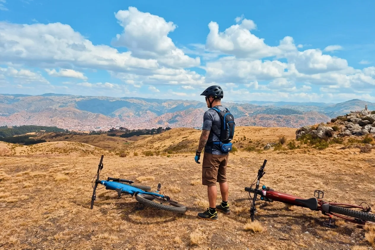
Cyclist at Huayllarcocha Route Start with Cusco View
Best season, bike choice, and practical tips
Acclimatization: a crucial aspect that cannot be ignored
Huayllarcocha sits at over 12,139 feet (3,700 meters), and highest point of combined routes exceeds 12,467 feet (3,800 m). If arriving from sea level, your body will require time to adapt.
Suggestions:
- Arrive in Cusco at least 1-2 days before starting route.
- During first day, limit activities to walking through city and touring its markets.
- Stay well hydrated (consume double water than at home).
- Avoid alcohol during first 48 hours.
- Coca tea can be helpful for relieving altitude effects.
Best time to do this activity
Dry season (April to November) is ideal for Huayllarcocha. Trails are firm, views are clear and rains don’t interrupt journey.
| Season | Trail conditions | Weather | What to expect / Recommendation |
| Dry season (April – November) | Fast and predictable trails | Daytime temperatures: 59–70°F (15–21°C) | Clear skies and spectacular views; ideal for long and technical routes |
| Rainy season (December – March) | Slippery terrain, some muddy sections | Higher humidity and variable rains | Greener landscape; bring waterproof jacket and adjust your pace on descents |
What bike is suitable for Huayllarcocha?
🚴 Recommended Bike Types
Trail / Light Enduro:
Ideal
Hardtail:
Possible, less comfortable
E-bike:
Useful for acclimatization
Full Suspension:
Best option
Common mistakes on your first Huayllarcocha trip
- 🚫
Going out without acclimatization: at this altitude, your performance drops faster than expected.
- ⚠️
Underestimating route for being close to Cusco: technique is still key.
- 🏁
Entering first curves too fast: loses control and confidence from start.
- 🛠️
Not checking brakes before descending: it’s your most important safety system.
- ⚙️
Using tire pressure too high: reduces grip on curves and loose terrain.
- ❌
Assuming “short” means “easy”: in MTB, technical weighs more than distance.
Huayllarcocha is not the longest descent around Cusco, and that is exactly why it matters. It is close, repeatable, technical enough to build confidence, and practical enough to fit into an acclimatization day or a multi-run session. For riders who want real Cusco terrain without committing to a huge shuttle day, it remains one of the smartest trail choices near the city.


