


Quick Answer:
Urquillos Flow is one of the most enjoyable mountain bike descents in the Sacred Valley near Cusco. Starting above Chinchero at about 14,698 ft (4,480 m) and descending to Urquillos village, the route offers 3.4 miles (5.5 km) of flowing singletrack, combining speed, berms, Inca trail sections and spectacular valley views. It’s considered an intermediate level descent ideal for riders who want flow without extreme technical difficulty.
Urquillos Flow MTB route has become the favorite of those with mountain experience who don’t want to risk their life on every rock. It’s the route guides always include on multi-day trips because it’s exciting without being terrifying.
Unlike other regional trails, which tend to be very technical, steep and aggressive, the descent to Urquillos is pure flow. Here you’re not fighting the bike or going down with fingers glued to brakes from fear of falling. It’s what in mountain biking we call “gentle gravity.” In Urquillos, the key is letting momentum do its work.
It’s that kind of path letting you lift your gaze, enjoy the landscape and feel speed naturally. It’s, in essence, the perfect route to remember why you love riding: for the freedom of flowing with the mountain, not just the challenge of surviving it.
Ready to ride one of the Sacred Valley’s most thrilling flow trails? Our Cusco day tours are built for riders seeking the perfect mix of speed, descent, and true enduro adventure in the Andes.
Urquillos Flow MTB Route – Quick Facts
|
Feature
|
Details
|
|
Start elevation
|
14,698 ft (4,480 m)
|
|
Finish elevation
|
10,892 ft (3,320 m)
|
|
Distance
|
3.4 miles (5.5 km)
|
|
Descent
|
3,609 ft (1,100 m)
|
|
Difficulty
|
|
|
Trail type
|
Flow singletrack + Inca sections
|
|
Best season
|
May – October
|
Location
Urquillos Flow starts in Chinchero’s heights (mountain pass sector at 14,698 feet/4,480m) and descends to Urquillos village (10,892 feet/3,320m), located in Sacred Valley approximately 19 miles (30 km) northwest of Cusco and 9 miles (15 km) southwest of Ollantaytambo. Urquillos village is a small Quechua agricultural community few tourists visit, it has no flashy Inca ruins or tourist markets.
Its fame in the MTB world is precisely for being the end point of several epic descents from the Chinchero area, with Urquillos Flow being the most accessible and popular.
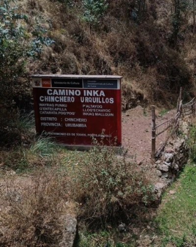
Trailhead Sign: Inca Path Chinchero to Urquillos
Why choose Urquillos Flow?
- Route type: Flowing curves, technical singletrack, Inca stairs and canyon trails with forest
- Route distance: 3.4 miles (5.5 km)
- Cultural landscape: The route crosses ancient Inca roads and local communities.
- Accessibility: Ideal for those seeking a long but not too technical descent.
- Connection with other routes: Can combine with “La Máxima” for a full enduro day in Sacred Valley.

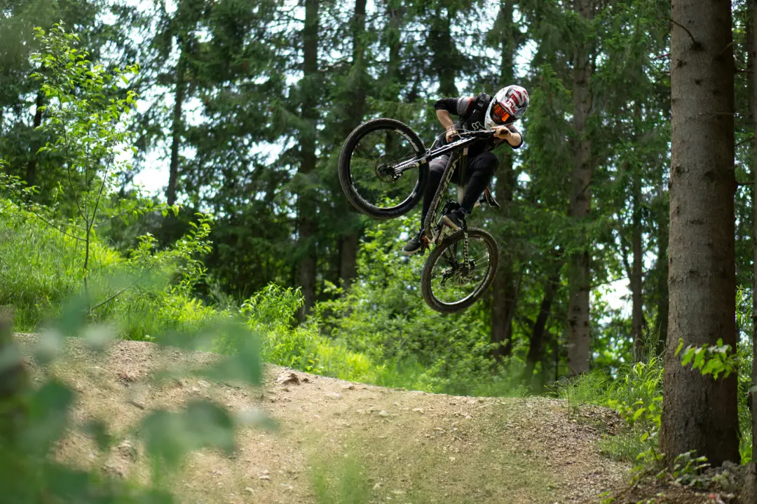
Mountain bikers descending Urquillos Flow trail in the Sacred Valley near Cusco Peru
Who is Urquillos Flow Descent ideal for?
Before riding here, it’s useful to understand How to Read MTB Terrain in Cusco, here a complete profile for someone who want to do Urquillos Flow.
| Profile | Why does this route fit? |
| Trail cyclists | If you have a bike with 5.1 to 5.9 inches (130 to 150 mm) of travel, you’ll enjoy every second of the route. |
| Adventurous families | Ideal for families with teenagers who already have prior experience on dirt trails. |
| E-Bike riders | Route flow allows taking great advantage of electric assist on the few pedaling transitions that exist. |
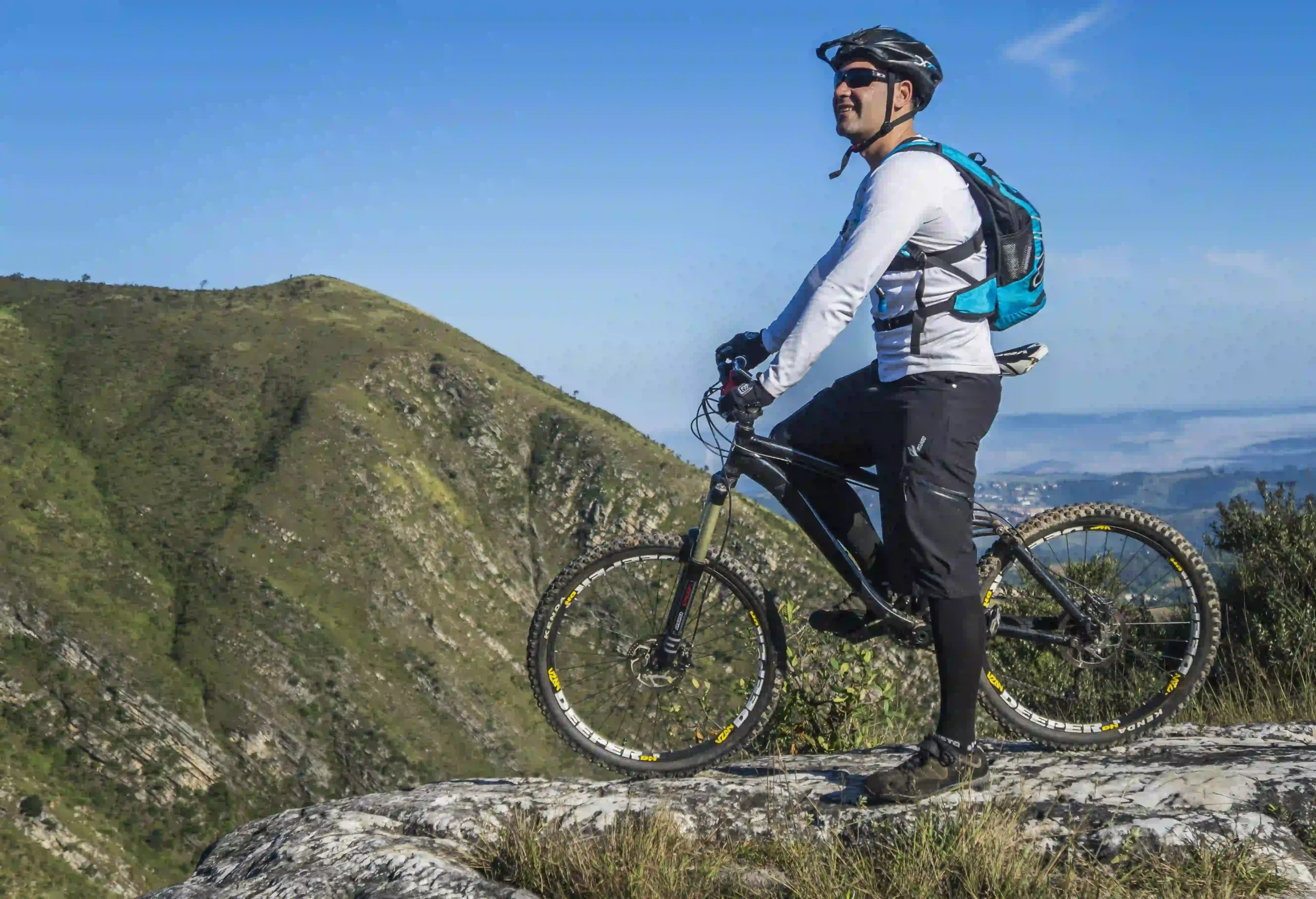
Admiring the vastness of the Andes before conquering the ancient stone trails.
Detailed Route Description
Difficulty Level: Intermediate
The route, in essence, is a flowing intermediate level descent. However, it has “detours” or more demanding lines you can choose if seeking more adrenaline. The beauty is you decide how far you want to go.
What you DO need to know well:
- Speed control: You must feel comfortable descending for several continuous minute s down steep slopes (up to 15% grade).
- Carving turns: There will be berms and banking you’ll take at 15-19 mph (25-30 km/h). You need to look at curve exit, not front wheel.
- Choose your line: There are zones with loose rocks (rock gardens), but they’re friendly: you can ride over small ones or go around large ones no problem.
- Brake smart: Death grip (braking like your life depends on it) will leave your arms destroyed in 20 minutes. Key is braking smoothly and timely.
- Navigate switchbacks: There are tight turns with very short radius (6.5-10 feet/2-3 meters). They require basic technique to not lose balance.
What’s NOT mandatory to know (you can walk or avoid):
- Riding down stairs. If Inca stairs intimidate you, you can get off bike on those two or three sections.
- Doing jumps or drops. Route has no mandatory ramps.
- Riding on mud. If it’s rained, better wait or choose another day.
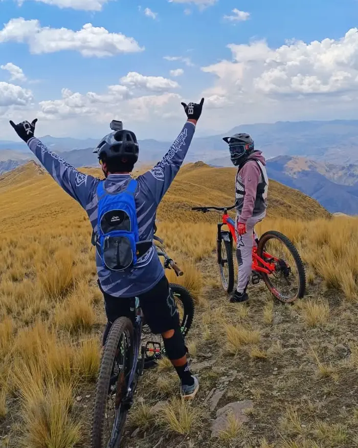
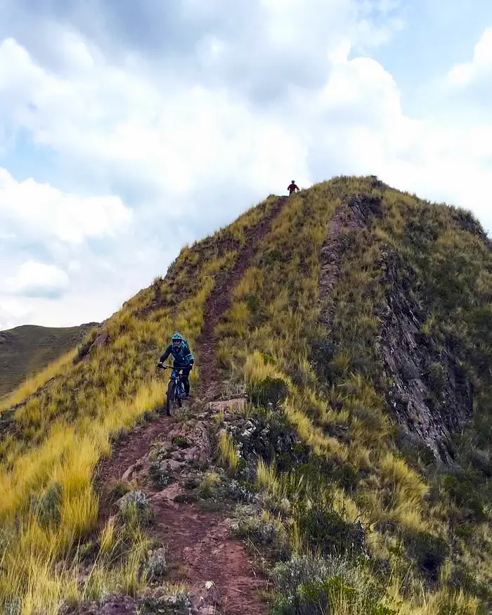
Two riders, one summit, and the Andes wide open.
Steep slope, stable posture, controlled speed.
Best Season to Ride Urquillos Flow
The best months are typically May to October, during the dry season in the Andes. Trails stay compact and dusty, which helps maintain flow and grip. During the rainy season (November–March), sections can become muddy and lose their fast character.
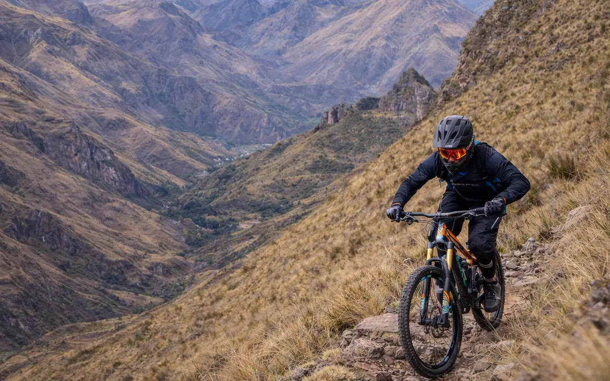
Focused riding on a raw, natural trail with big mountain views.
How does it compare to other famous routes?
- Easier than: El Brujo (very technical and exposed) or Inca Avalanche (speed and jump madness).
- Similar to: Maras Downhill or The Other Side. They have that mix of fast flow with technical sections making you think.
- Harder than: A tourist ride through Cusco or Lamay descent, which are much gentler.
Plan your MTB experience in Cusco
MTB Day Tours in Cusco
If you want to explore routes like Lamay Sapacto with the right logistics, local support, and suitable trail selection, check out our MTB Day Tours in Cusco.
Multi-Day MTB Tours
For more comprehensive experiences that connect several valleys and high mountain routes, discover our multi-day MTB Tours.


